

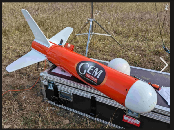
UAVs equipped with EM, Electromagnetic Sensor and/or Magnetic Sensor; cameras or other sensors to rapidly capture accurate geospatial data for mapping, modeling, and analysis.
What is a Drone Survey?
A drone survey is a method of collecting geospatial data using an unmanned aerial vehicle (UAV) equipped with high-resolution EM Sensor; Magnetic sensor; Cameras; LiDAR; or multispectral sensors. The drone follows a pre-programmed flight path over a site, geophysical data; capturing overlapping images or point cloud data. This data is processed with specialized software to create 2D orthomosaic maps, 3D models, Digital Elevation Models (DEMs), and 3D meshes. Drone surveys are widely used in mineral exploration, construction, land development, environmental monitoring, agriculture, and infrastructure planning
Accuracy and Validation
Drone surveys can achieve horizontal accuracy of 1–5 cm when using ground control points (GCPs) or RTK-enabled drones. Without GCPs, accuracy typically drops to 1–3 meters. Accuracy validation is critical, and surveyors often compare drone data against checkpoints to ensure reliability for engineering or planning applications
Advantages Over Traditional Surveying
- Speed: Drone surveys can cover large or difficult-to-access areas in hours instead of days or weeks
- Safety: Reduces the need for surveyors to navigate hazardous terrain
- Cost-effectiveness: Minimizes labor and equipment costs while providing high-quality data
- Data richness: Produces detailed 2D and 3D deliverables suitable for CAD, GIS, and
Equipment and Software
Professional survey drones vary from prosumer models to enterprise-grade platforms. Key features include mechanical shutters to prevent image distortion, high-resolution sensors, and RTK/PPK GNSS for precise positioning. Popular drones for surveying include the DJI Mavic 3 Enterprise for professional work and smaller drones like the Air 3S for smaller-scale mapping projects. Surveying software integrates imagery, correction logs, and checkpoints to produce accurate maps and models efficiently
Deliverables
Depending on the sensors and software used, drone surveys can produce:
- 2D orthomosaic maps for topographic and cadastral analysis
- 3D models and meshes for construction planning and BIM integration
- Digital Elevation Models (DEMs) for earthwork and terrain analysis
- Point clouds for detailed structural or vegetation mapping
- Drone surveys have become an essential tool across industries, offering faster, safer, and more accurate data collection than traditional methods while supporting a wide range of professional applications